|
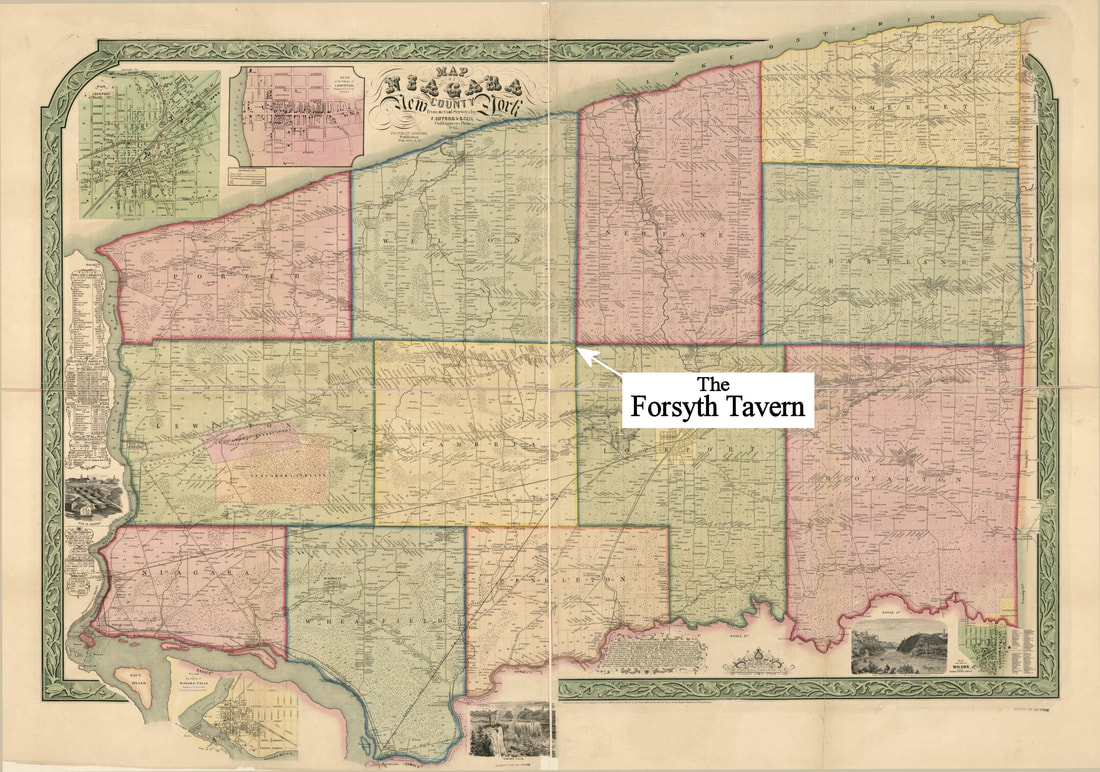
If you are interested in seeing the area as mapped in great detail in the year 1852, this library of Congress map can be viewed and downloaded at the link above. At the time of this map the road currently known as Stone Road is labeled the Lockport-Warren's Corners Plank Road. At the time it was a Wooden Plank Road with a Toll collected once in Lockport. Also at this time Ezra lives with his son in the Tavern but still ownes the Grange across the Ridge Road in his own name and surrounded by the homes of his family. This map is not only geared towards Warren's Corners though. If you ever wondered what your area looked like or perhaps who owned your house, it can show you the answers to those questions as well. Happy Discovering!
2 Comments
|
Details
FORSYTH-Warren Tavern MuseumRent the TavernCategories
All
|
ABOUT USVISITHISTORY & RESEARCHEDUCATIONCALENDAR OF EVENTSVENUE RENTALSUPPORTDONATE NOW |
CONTACT USForsyth - Warren Tavern
5182 Ridge Road Lockport, NY 14094 Annual Appeal Donate |


 RSS Feed


